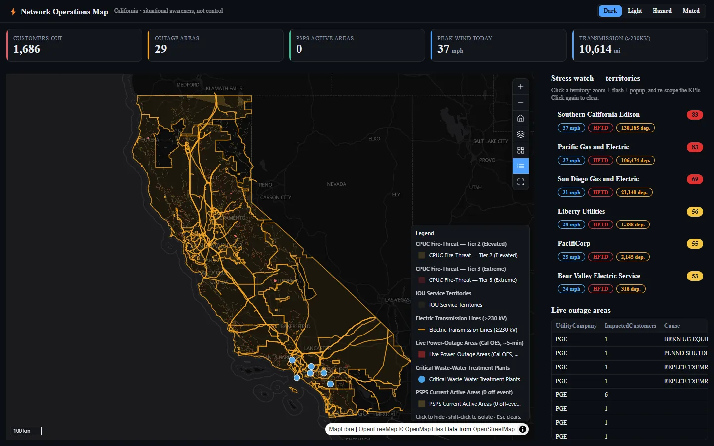
Critical Infrastructure Lifelines · Emergency Management and Response
Which lifelines are down here, and on what evidence?
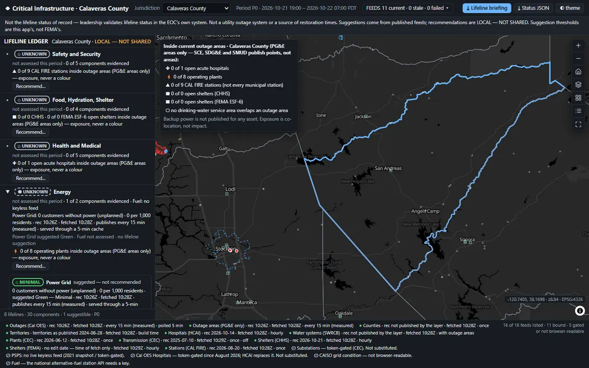
Lays out FEMA's eight Community Lifelines as 30 components, and shows the live evidence behind every colour and how old it is.
Before you open it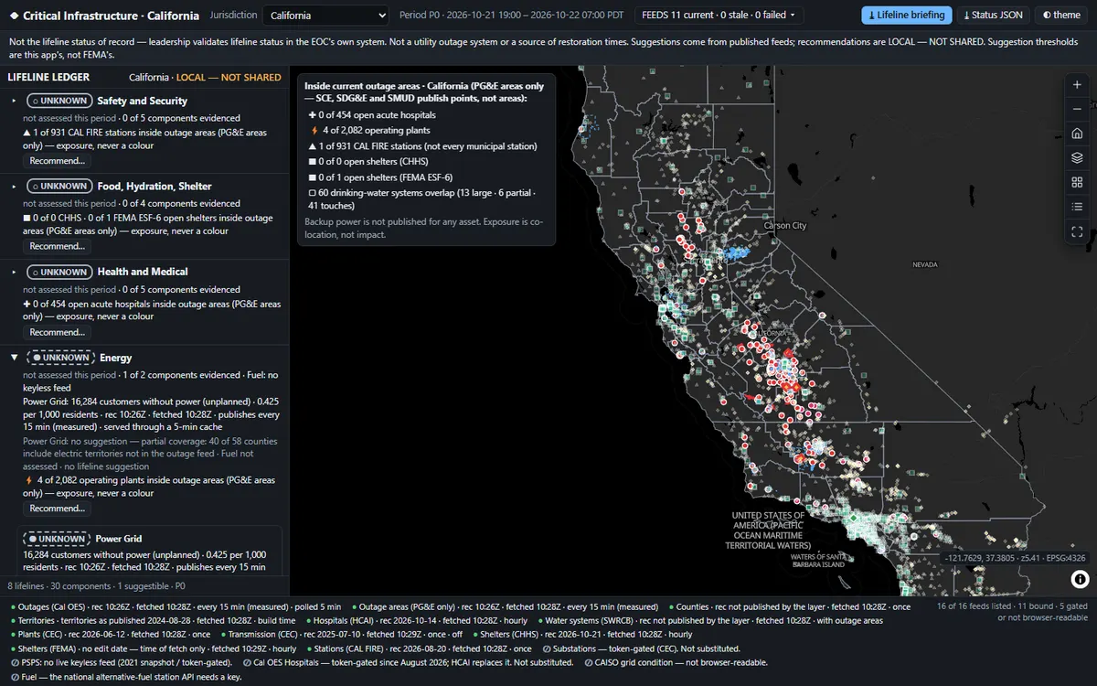 1
 2
 3
What you'll do in the app
1See the ledgerEight lifelines, 30 components; grey wherever no live feed measures an impact.
2Pick a countyCalaveras: the outages, hospitals, plants and water systems inside it.
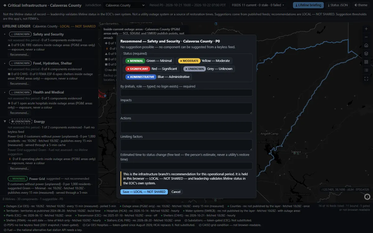
3Recommend a colourA person recommends the status, next to the evidence it rests on.
Demo dataLive Cal OES outages and California facility registers
StandardFEMA Community Lifelines · HIFLD sectors
Runs onStrata, or your existing Esri services
Built fromAn open recipe, in one run with Claude
Two ways to get it
Want this on your own data?
Build it yourself
Start from the free open template and the AI-guided setup. Run it on Strata Free, on your own servers.
Free · MIT licenceGet the template →We deliver it for you
We set it up on your data and your rules, load your first layers, and support it on Strata Enterprise or Hosted.
Delivery, licence and annual supportKeep exploring
All 6 Emergency Management and Response apps →Explore similar apps
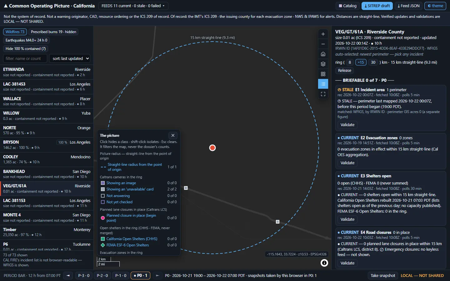
Common Operating PictureWhat can we brief about this incident right now?See the app →
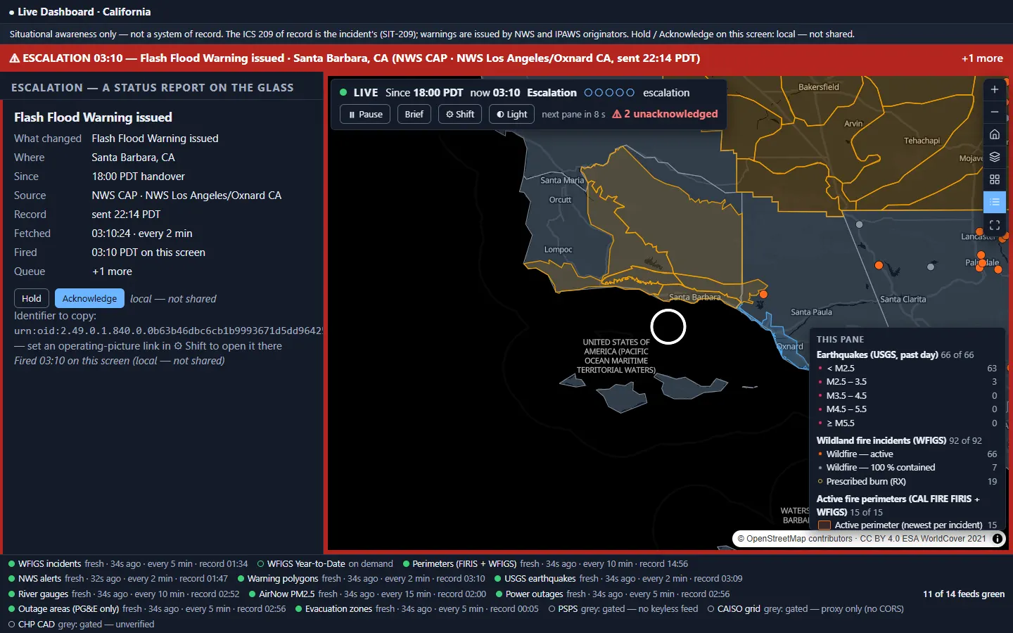
Live Operations DashboardHas anything changed since handover that needs a person now?See the app →
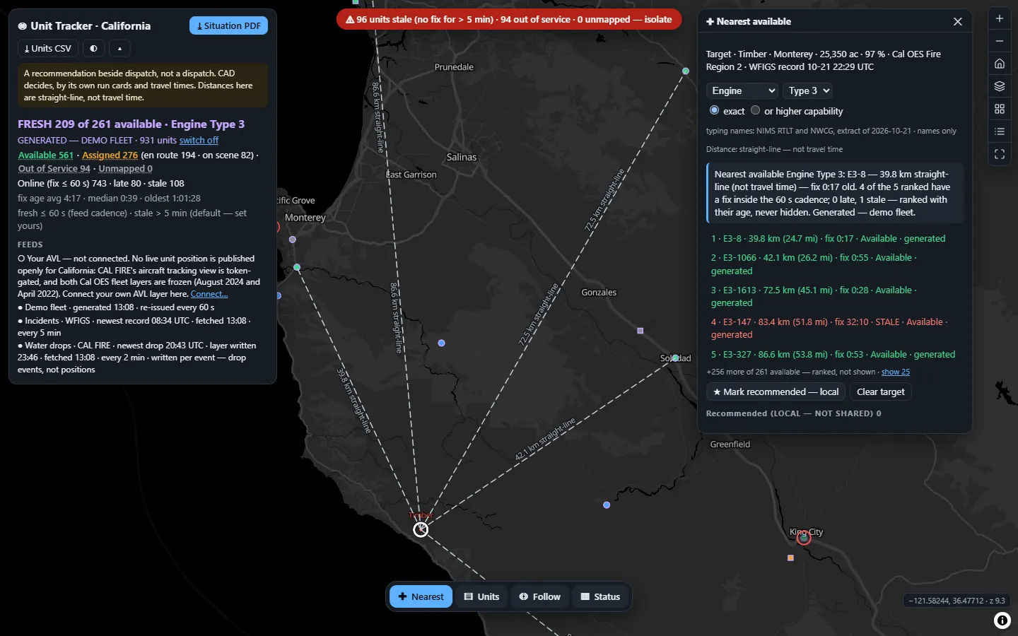
AVL / Resource TrackerWhich unit is nearest, and how old is its position?See the app →